
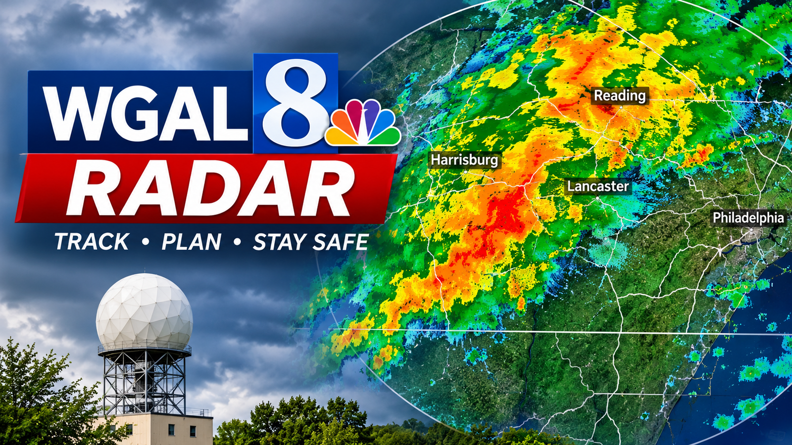
WGAL Radar is an interactive weather radar service provided by WGAL News 8 that helps people monitor rain, thunderstorms, snow, and changing weather conditions across south-central Pennsylvania. It allows users to view weather activity on a map, zoom in on specific locations, follow storm movements, and check weather alerts.
The WGAL interactive radar is particularly useful for residents of Lancaster, York, Harrisburg, Lebanon, and surrounding communities who want to understand approaching weather conditions and prepare for severe weather.
What Is WGAL Radar?
WGAL Radar is a weather-tracking feature available through the WGAL News 8 website and mobile application. It provides a visual representation of weather activity, helping users understand where precipitation is occurring and how weather systems are moving.
WGAL serves the Susquehanna Valley region of Pennsylvania. Its weather coverage combines radar information, local forecasts, and updates from its Storm Team.
The interactive radar allows users to explore different locations instead of relying only on general weather reports.
WGAL also introduced its Live Local 8 Radar in November 2023 to provide a closer view of weather conditions in the Susquehanna Valley.
Key Features of WGAL Interactive Radar
The WGAL weather radar includes several useful features designed to make weather information easier to understand.
Live Weather Tracking
The interactive radar helps users follow precipitation and storm activity as weather conditions change. Users can observe rain and other weather systems moving across the region.
Street-Level Zoom
One useful feature is the ability to zoom in on specific neighborhoods and streets. This makes it easier to examine weather activity around homes, workplaces, schools, and other locations.
Users can also zoom out to view a wider regional weather pattern.
Radar Layers
WGAL provides different map layers that display additional weather information.
Depending on the available radar settings, users can explore:
- Current weather conditions
- Storm tracks
- Feels-like temperatures
- Weather warnings and watches
- Past radar activity
- Futurecast radar information
These layers help users understand more than just where rain is falling.
Severe Weather Information
Severe weather alerts are important when thunderstorms, strong winds, or other dangerous conditions develop.
WGAL provides access to information about active weather watches and warnings affecting its coverage area.
Users can also find additional information through its weather alerts section.
How to Use WGAL Radar
Using WGAL Radar is relatively simple, even for people who have never used an interactive weather map.
Open the Interactive Radar
Start by visiting the WGAL weather radar page. The interactive map provides access to weather information for the Susquehanna Valley and surrounding areas.
Choose Your Location
Find your city, town, or neighborhood using the map.
You can zoom in to examine local conditions or zoom out to see broader weather activity across Pennsylvania.
Select Radar Layers
Open the Layers menu to explore available weather information.
Choose the layer that provides the information you need, such as current conditions or storm tracks.
Check Storm Movement
Review the radar animation to understand how precipitation is moving.
Looking at multiple radar frames can help you identify whether a storm is approaching, moving away, or changing direction.
Review Weather Alerts
Check active watches and warnings before making decisions about outdoor activities or travel.
Always follow official emergency instructions during dangerous weather conditions.
What Is Live Local 8 Radar?
Live Local 8 Radar is a weather-tracking technology introduced by WGAL News 8 in November 2023.
It was developed to provide a closer view of storms affecting the Susquehanna Valley.
Before its introduction, the nearest radar coverage could be more than 90 miles away. Because traditional radar beams travel in relatively straight paths while the Earth curves, distant radar systems may observe storms at higher elevations rather than close to the ground.
WGAL introduced its local radar to help its meteorologists examine weather activity closer to the communities they serve.
This additional perspective can be valuable when monitoring winter weather, including sleet, snow, and wind-related conditions.
WGAL Radar Coverage Areas
WGAL primarily provides weather coverage for south-central Pennsylvania and the Susquehanna Valley.
Its radar and weather reporting are particularly relevant to the following communities:
Lancaster
Lancaster residents can use the radar to monitor rain, thunderstorms, and changing weather conditions throughout Lancaster County.
York
People in York can follow approaching storms and examine precipitation patterns around the city and surrounding communities.
Harrisburg
The radar provides another way for residents of Harrisburg and nearby areas to monitor regional weather activity.
Lebanon
Residents of Lebanon can use the interactive map to observe weather systems moving through the surrounding region.
Other Pennsylvania Communities
WGAL’s weather coverage also serves communities across the broader Susquehanna Valley, including parts of Dauphin, Cumberland, Adams, and Franklin counties.
Actual radar visibility and coverage can vary depending on the radar product and weather conditions.
Benefits of Using WGAL Weather Radar
Weather radar can make everyday planning easier by providing a visual understanding of changing weather conditions.
Better Rain Monitoring
Users can observe precipitation patterns and identify areas experiencing rainfall.
Storm Awareness
Radar animations help users follow storm movement and recognize changing weather conditions.
Travel Preparation
Checking radar before traveling can help people identify approaching rain or thunderstorms along their route.
Outdoor Activity Planning
Families, outdoor workers, and event organizers can use radar information when planning activities.
Severe Weather Awareness
Combining radar information with official weather alerts helps users prepare for potentially dangerous conditions.
WGAL Radar vs. Traditional Weather Forecasts
Radar and weather forecasts provide different types of information.
Traditional forecasts explain expected weather conditions over a particular period. They can include predicted temperatures, rainfall probabilities, wind conditions, and expected precipitation.
Weather radar provides a visual representation of detected precipitation and its movement.
For example, a forecast might indicate that thunderstorms are possible during the afternoon. Radar can help users observe whether precipitation has already developed nearby.
Using both resources provides a more complete understanding of weather conditions.
WGAL Radar on Mobile Devices
WGAL also makes weather information available through its mobile application.
The WGAL News 8 app provides access to local weather conditions, forecasts, news updates, and interactive radar features.
Its radar allows users to zoom in and out to examine approaching storms.
Other useful mobile features include:
- Current local weather conditions
- Hourly weather forecasts
- Seven-day forecasts
- Weather alerts and updates
- Video forecasts
- Location-based notifications
Users should check their device’s notification and location permissions to receive relevant weather updates.
Tips for Reading WGAL Radar Accurately
Understanding a radar map can help users interpret weather information more effectively.
Watch Radar Animations
A single radar image shows conditions at one moment. Reviewing several frames provides a better understanding of storm movement.
Check the Time of the Data
Radar information can sometimes be delayed. Check timestamps and available update information before making decisions.
Understand Radar Limitations
Radar does not always detect every weather condition equally well. Terrain, distance, and atmospheric conditions can affect observations.
Use Official Weather Alerts
Radar should not replace warnings issued by the National Weather Service or emergency authorities.
Check Multiple Weather Resources
Comparing radar observations with local forecasts and official alerts can provide a clearer picture of developing weather conditions.
Frequently Asked Questions About WGAL Radar
What is WGAL Radar used for?
WGAL Radar is used to monitor precipitation, thunderstorms, storm movement, and other weather conditions across south-central Pennsylvania. Its interactive map helps users examine local and regional weather activity.
Is WGAL Radar free to use?
WGAL provides public access to its interactive weather radar through its website. Its mobile application is also available without a purchase price, although standard internet or mobile data charges may apply.
Can I use WGAL Radar to track storms near my home?
Yes. The interactive radar allows users to zoom in on specific neighborhoods and streets to examine nearby weather activity.
Does WGAL Radar show future weather conditions?
WGAL provides access to past and futurecast radar features. Futurecast displays estimated weather movement rather than confirmed future observations, so its predictions can change.
What is Live Local 8 Radar?
Live Local 8 Radar is WGAL’s local Doppler radar system introduced in November 2023. It gives the station’s meteorologists a closer view of storms affecting the Susquehanna Valley.
Can I receive severe weather alerts from WGAL?
Yes. WGAL offers weather alert information and location-based notifications through its mobile application. Users can also check its website for current watches and warnings.
Conclusion
WGAL Radar is a useful weather-monitoring resource for people living in south-central Pennsylvania. Its interactive map, radar layers, storm tracking features, and local weather information help users understand changing conditions and prepare for approaching storms.
The addition of Live Local 8 Radar provides WGAL meteorologists with a closer look at weather activity across the Susquehanna Valley. For the best results, users should combine radar observations with local forecasts and official severe weather alerts.
Also read: Kaostogel

1 Comment
Pingback: PolyBuzz AI Free Chat: Explore AI Characters and Roleplay